The United States heavily relies on its road infrastructure, serving as the backbone of transportation for commerce and travel. However, many of the nation’s major roads, highways, and bridges need repair. As states embark on major roadway construction projects, transparency, and resident engagement is critical. In Maryland, an innovative online portal powered by Geographic Information System (GIS) technology is revolutionizing the way roadway construction progress gets communicated. This success story may inspire other municipalities and businesses to embrace GIS to better serve their communities.
Table of Contents
A move toward transparency
States undertaking major road repair projects understand the significance of transparency in keeping residents informed. In Maryland, the highway department takes a proactive approach to communication by leveraging GIS through an innovative online portal. This portal is a hub, sharing project news and location-specific details, promoting a transparent and collaborative relationship with residents.
Aerial insights
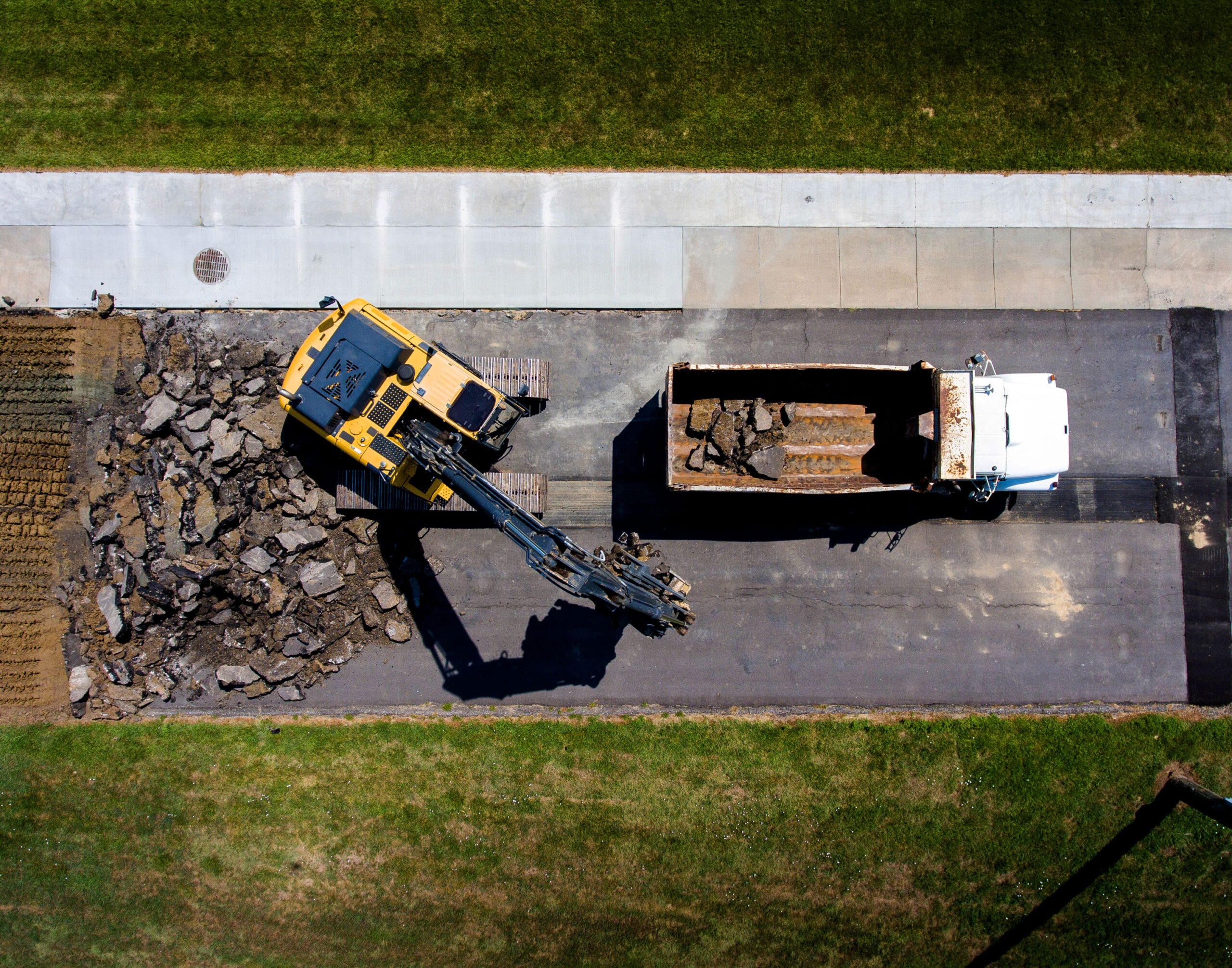
One of the features of Maryland’s project portal is its utilization of drone imagery. Aerial views provide insights into the progress of over 150 roadway projects. Through high-definition images and videos, residents can witness the transformation of their communities, gaining a deeper understanding of the repair process. Moreover, the portal provides current information on project status, objectives, plans, and road closures, ensuring residents can plan their commutes and daily activities accordingly.

Engaging the community
By harnessing the power of GIS technology, the state enhanced its ability to engage with residents. Residents can easily access and navigate the state’s website to explore the latest updates on their local construction projects. The availability of project-specific information empowers residents to voice their opinions and concerns, making them active stakeholders in the development process. This two-way communication fosters a sense of community ownership, enabling the state to understand the residents’ needs and priorities.
Your project, netEffx’s expertise
Are you ready to embrace the power of GIS technology to revolutionize projects in your organization or community? The netEffx GIS team has over 25 years of combined experience in GIS mapping services. We are ready to partner with municipalities and businesses to help guide them through the journey. Contact us today!